UAV / Surveying
- Rapid 2hr On-Site Photogrammetry Processing
- RTK GPS Field Surveying
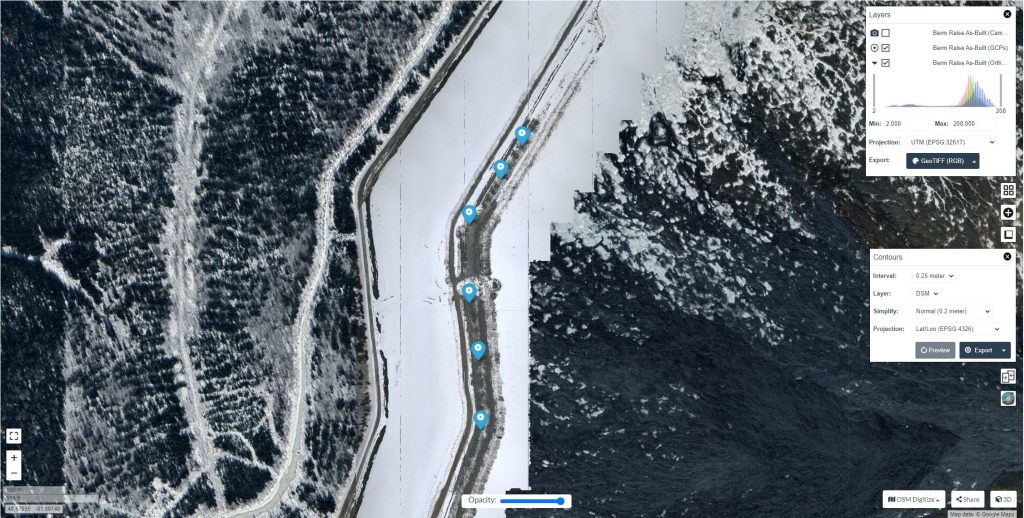
- UAV Mapping
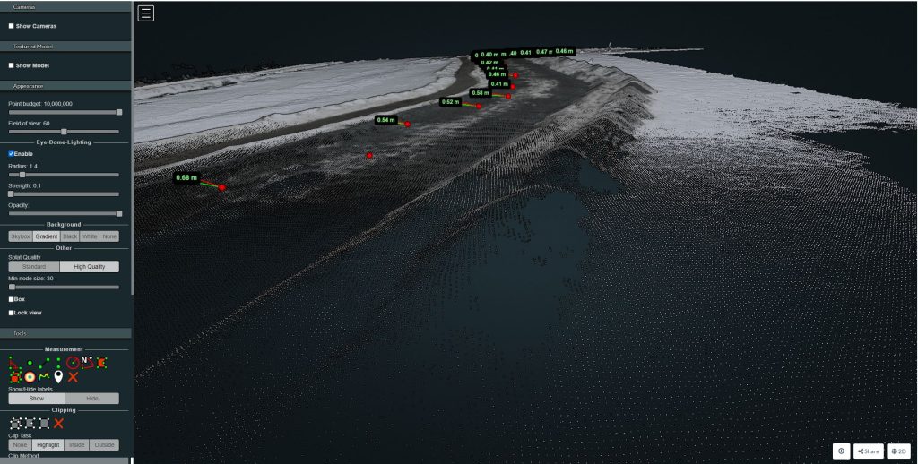
- Site 3D Modelling
- Rapid Deployment UAV’s
- Low Cost UAV Work
- High Absolute Precision Using RTK GPS
- Online Client Data Management Software
- Rapid Field Measurments
- Quick Turnaround On Large Projects

